road trip |
 |
|
banff and jasper national parks, alberta, canada
|
||
 |
banff: the canadian rockies
13 July 2018 Compared to the Rockies in the Western United States,
the mountains here seem harsher, craggier, dis-inclined to be forgiving of human foolishness, and stunningly beautiful.
Buddha Frog has arrived!
|
|
 |
banff:
Mountain photos. |
|
 |
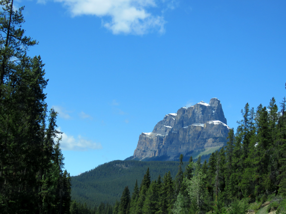
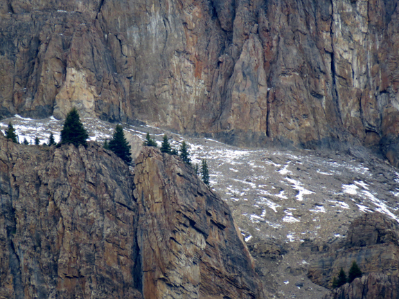
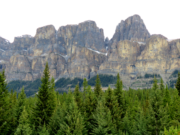
banff:
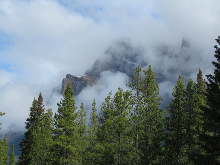
At first, these all look alike, and then appear vaguely different. Days of viewing the same mountains reveal the distinct
personality and moods of each. What are their first names?
|
|
 |
banff:
|
|
 |
banff:
|
|
 |
banff:
|
|
 |
banff:
|
|
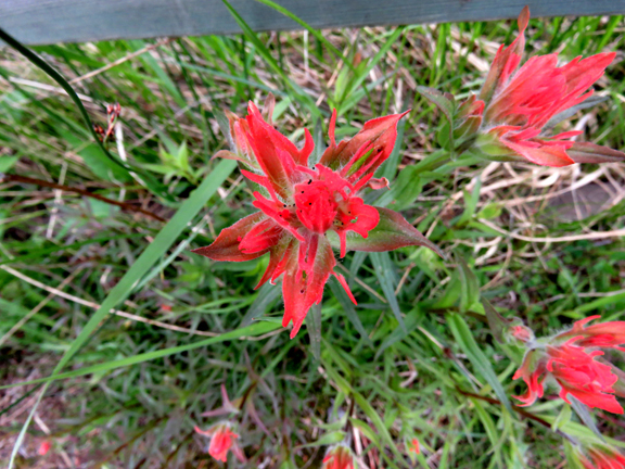 |
banff:
Indian Paintbrush. |
|
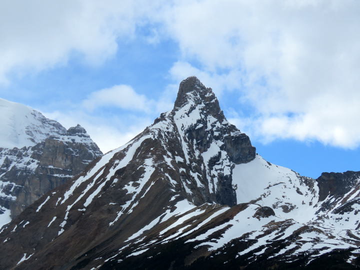 |
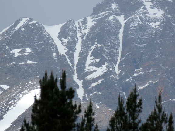
banff:
This peak changed moods depending on the time of day, cloudiness, whim... |
|
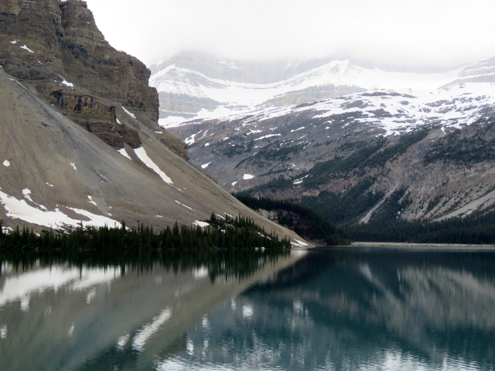 |
banff: bow lake
The information kiosk announced that this was the place to take a classic postcard photo of Bow Lake. So I did. |
|
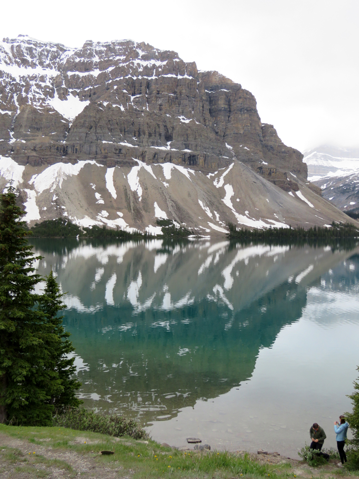 |
banff: bow lake
In fact, I took two. |
|
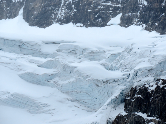 |
banff: bow lake
Peyto Glacier, or what is left of it. |
|
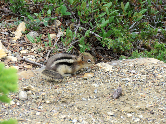 |
banff: bow lake
We found squirrel, but no moose. |
|
 |
banff: bow lake
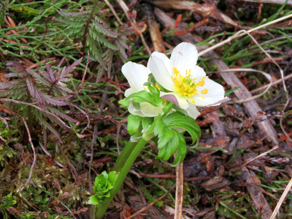
The western anemone. |
|
 |
banff: bow lake
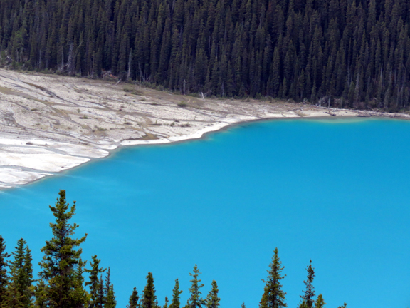
The color was just as it looks in the photo, a beautiful turquoise caused by rock dust ground flour-fine by glacial action.
Photo taken at Bow Summit. The sign said:
|
|
 |
banff: bow lake
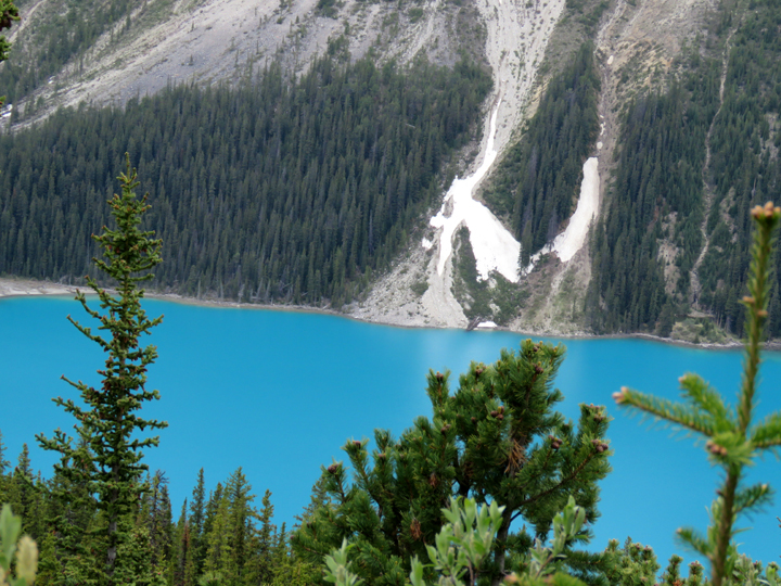
The scarred rock slope is all that is left of where Peyto Glacier used to be. |
|
 |
banff: bow lake
It is a wonder to have gotten these photos at all let alone without people in them. The observation area at Bow Summit was croded with a tour busload of rather inconsiderate people who seemed interested or aware of nothing besides their pressing need to take selphie-stick photos. Stay on the trail? Stay behind the guard railings? |
|
 |
banff: bow summit trail
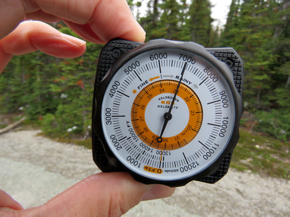
7,000 feet above sea level at the summit. It was uphill to the summit and steep, of course. I made it (and yes, the altitude sickness is back).
|
|
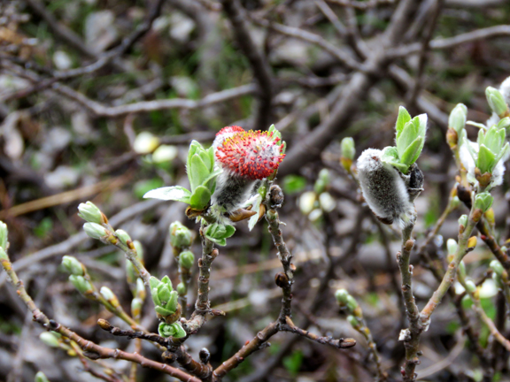 |
banff: bow summit
A willow with catkins. |
|
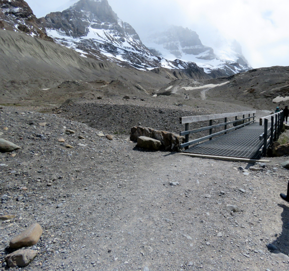 |
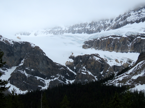
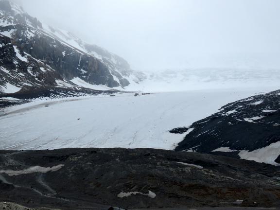
jasper: athabasca glacier
The beginning of the steep and rocky trail up to the toe of the glacier. The glacier has lost 60% of its ice mass since 1885, due to changing climate.
We met an elderly Asian woman (80+ years) and her son on this climb. They first visited the glacier forty years
ago and at that time the glacier reached all the way down to the road. This bridge was not there.
|
|
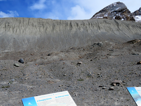 |
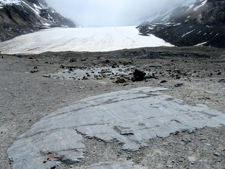
jasper: athabasca glacier
The ridge in the photo is a "lateral morraine" and there is one just like it on the other side. The top of the ridge marks the glacier's high point. It filled up the space all the way to the top of those ridges. |
|
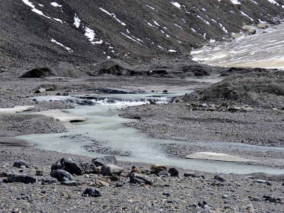 |
jasper: athabasca glacier
The glacer has receeded considerably. All that is left at this point is a rivulet of meltwater. |
|
 |
jasper: athabasca glacier
The toe of the glacier. |
|
 |
jasper: athabasca glacier
Deeply scratched rock exposed by the melting glacier |
|
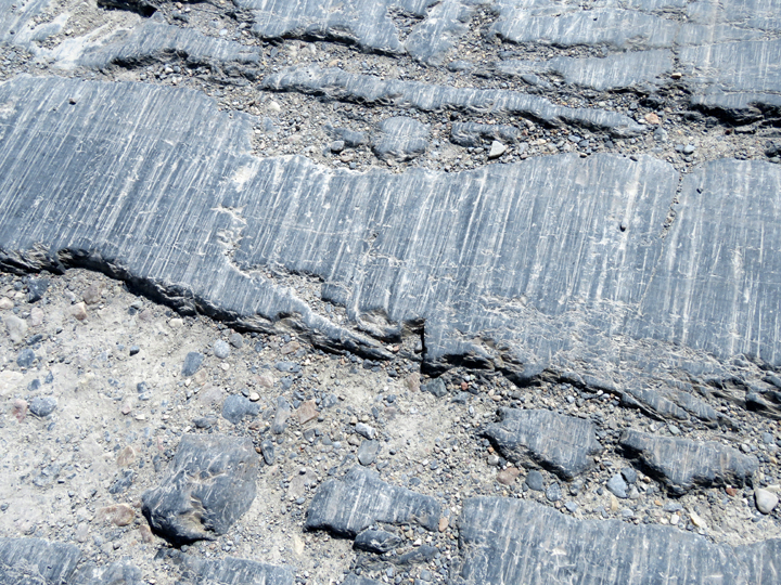 |
jasper: athabasca glacier
More scratches... given the, um, glacial pace of ice movement over these rocks, it is amazing these scratches show like they do. |
|
 |
jasper: athabasca glacier
No moose. No squirrel. |
|
 |
jasper: athabasca glacier
It was really windy and cold out there. I'd guess winds howling down the glacier at about a steady 25 or 30 mph gusting higher.
You can no longer walk to the edge of the of the glacier and stand on it.
|
|
 |
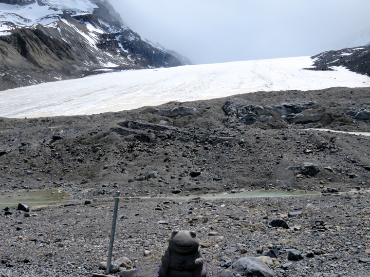
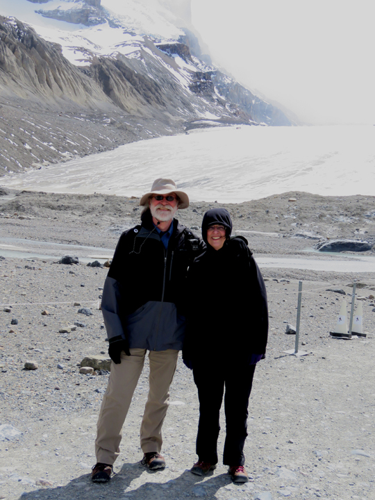
jasper: athabasca glacier
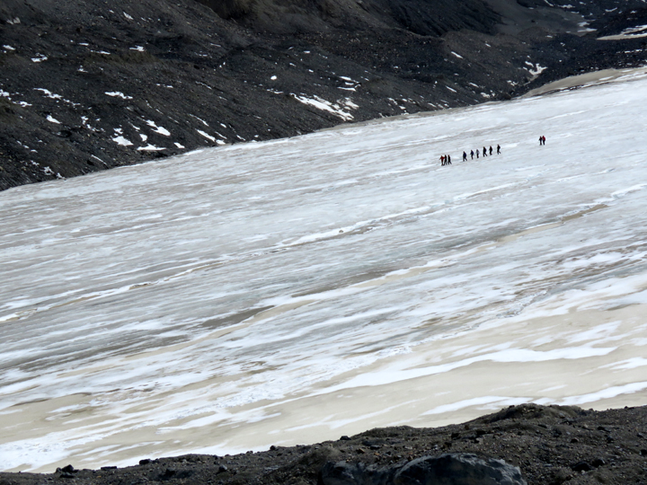
Those are people out there on the glacier. The operators of various walking tours will, for a charge, take you out on the glacier using a route where you will probably not fall down a crevasse. As the ice receeds, it leaves tricky covered-over crevasses that give way when someone steps on it. Every year people fall. The sign said that the last three rescue operations failed, the victims had died of hypothermia before rescue teams could get to them. |
|
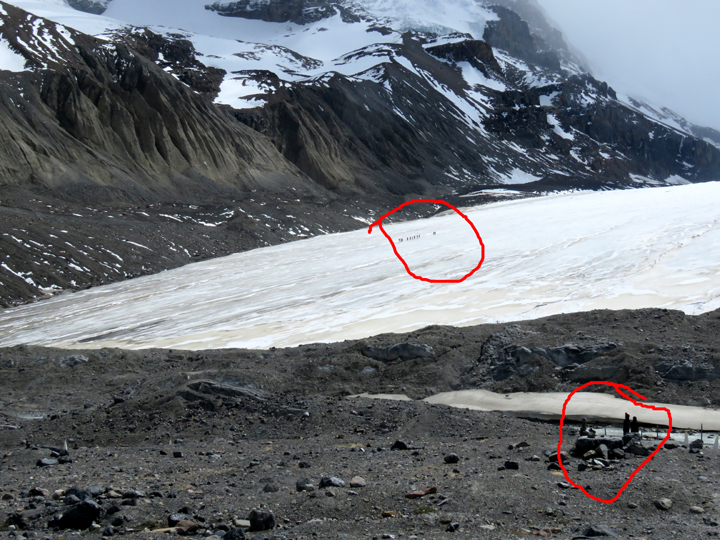 |
jasper: athabasca glacier
Just a point of perspective. Same picture, red circles the same group of ice walkers. |
|
 |
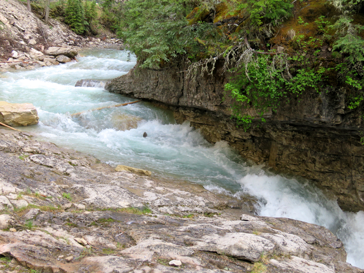
banff: johnston canyon
A very popular hike up a paved trail along the river to some spectacular waterfalls. We were there in the late morning on a day that was supposed to see steady rain all day. The clouds thinned, the sun emerged and so we went. It was still crowded. Later in the afternoon we drove past Johnston Canyon again and both parking lots were completely full and cars lined the edge of the road for a quarter mile. |
|
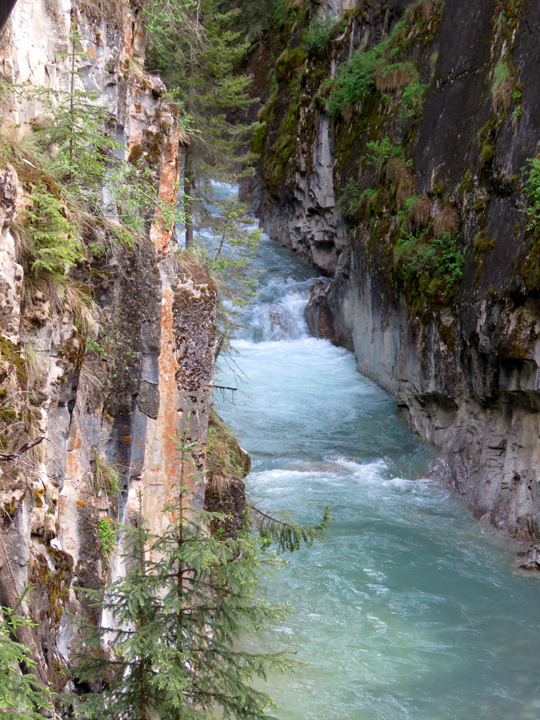 |
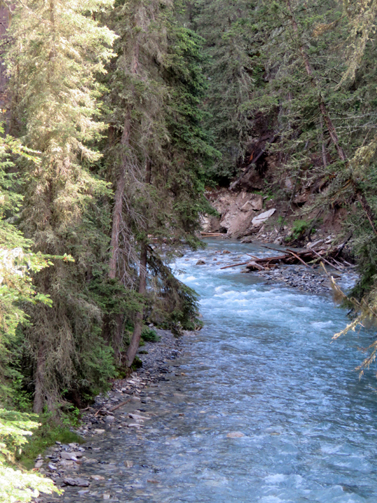
banff: johnston canyon
I am intrigued by the color of the water. It is turquoise, and so clear in spite of the color that you can see the river bed.
|
|
 |
banff: johnston canyon
These walks are bolted into the side of the canyon. And, as usual, mostly uphill on the way to the falls. Worth the hike,
but I confess, I like downhill better.
|
|
 |
banff: johnston canyon
... |
|
 |
banff: johnston canyon
... |
|
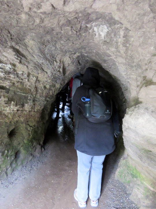 |
banff: johnston canyon
There is a cave, and crouching down, walking on wet slippery rocks through the cave, you come to... |
|
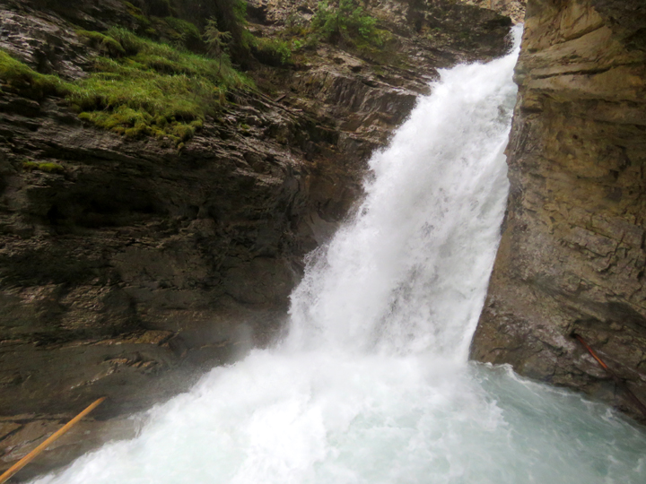 |
banff: johnston canyon
... a small viewing platform that overlooks the top part of the falls. Everything gets sprayed. |
|
 |
the mountain
the master's gone alone
|
|
Text and images copyright 2018 Thomas D'Alessio and Jocelyn Boor